Bushwalking to Colo River Lookout and Morans Rock
Follow easy firetrails to great vantage points above the Colo River
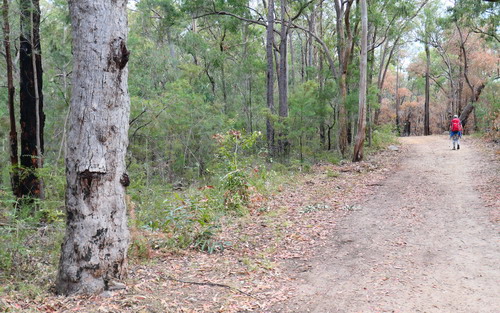 This bushwalk let's you see some good views of the lower sections of the Colo River without too much effort.
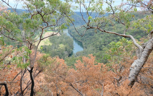
Parts of the walk were burnt in a recent hazard reduction but it doesn't detract from a pleasant walk. In fact some of the vistas may be better - see them before the bush grows back and obscures them.
Finding the start of the walk is a bit tricky. Drive along the Putty Road from Wilberforce and eventually you will see the signposted Blaxlands Ridge Road coming in from the left.
Continue along the Putty Road for 2.5km and look for a small yellow sign on the right saying Mid Turnbull Trail.
If you start descending towards the Colo River Bridge you've gone too far. From the Mid Turnbull Trail sign turn into the dirt firetrail and after a 100 metres come to a barrier and carpark. Leave your car here.
 A couple of things about the track and area. This is Crown Land so you technically are not in a National Park. You'll probably see people walking their dogs or even riding horses - that's allowed.
The other thing to remember is that the lookouts and vantage points are unfenced so if you take your dog or young kids watch them around the steep drop-offs.
On the downside clearly some people many years ago used this area to dump rubbish - perhaps before the gate was installed.
At the start of the walk here and there you'll pass rusted out bits of metal and at one point there is an old hulk of a car. Pity that it hasn't been removed.
Lets Get to the Point
Duration: allow 1 to 3 hours depending on how far you want to explore
Length of walk: 3km to 7km return (the first lookout is 3km return)
Difficulty: Easy
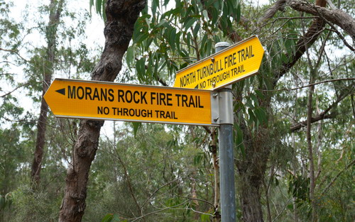
1. From the carpark, pass the barrier and head 100 metres to an intersection. Veer left avoiding the trail on the right which has signs that say private property. The intersection has a signpost that says North Turnbull Trail.
2. Continue along the ridge as it ambles gently north. Keep an eye out for lyrebirds and bush turkeys who live along here.
3. The track dips down, flattens out for a bit and then starts to climb. This climb is sharp but it doesn't go on for too long. At the top of the climb you'll come to an intersection and a yellow signpost. This is 1.5km from the car.
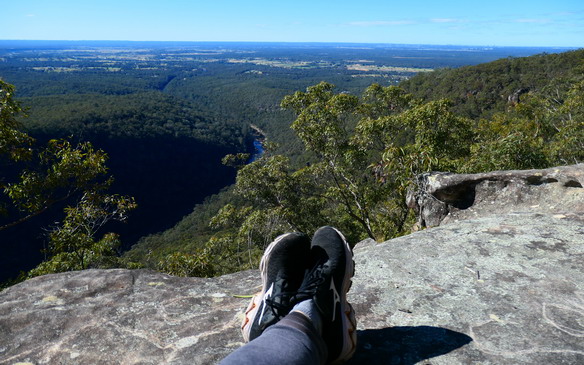
4. Turn left following the Morans Rock Firetrail sign. The trail continues for another 300 metres before you get to another obvious fork. Colo River Lookout is on the left. Head out to the end for amazing views down to the Colo River Bridge and Colo River. In the far distance to the left you can see the distinct cut in the range of Wheeny Gap. The Colo River is about 150 metres below you and the farms on the Upper Colo Road can be seen. For those who want a shorter walk return from this lookout to the car.
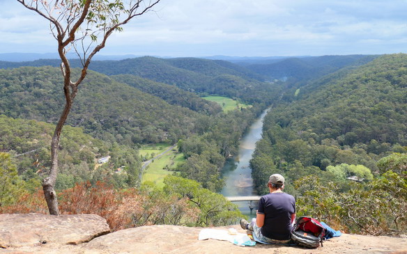
5. Backtrack from the lookout 10 metres to the intersection. Instead of returning to your car head left and follow the firetrail. The firetrail begins to narrow and is more like a foottrack. It dips down into a saddle where you'll find more rock shelves and views to the river from a different angle.
6. Continue to follow the trail as it heads north - it always keeps to the ridge. At one point the trail skirts around a higher, rocky knoll. Keep an eye out for a rock cairn on the right and a small track heading up to the knoll. This is Morans Rock but views are limited and the foot track vague since the fires. Return to the main foot track and walk along the ridge as far as you want - more views can be found just before the foot track begins to descend sharply. At this point we recommend retracing your steps.
Here's a map of the walk that might be helpful!
More articles that might interest you...
-
Getting your daypack in shape
Aug 17, 2021
Get prepared for those spring Hawkesbury bushwalks
-
Exploring Windsor Downs Nature Reserve
Jul 20, 2021
An easy bushwalk or mountain bike circuit through endangered forest
Read more
-
Hawkesburys 5 Best Lookouts
Dec 4, 2022
Map out a local roadtrip to enjoy these lookouts
Read more
